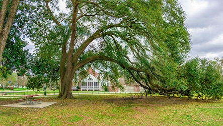
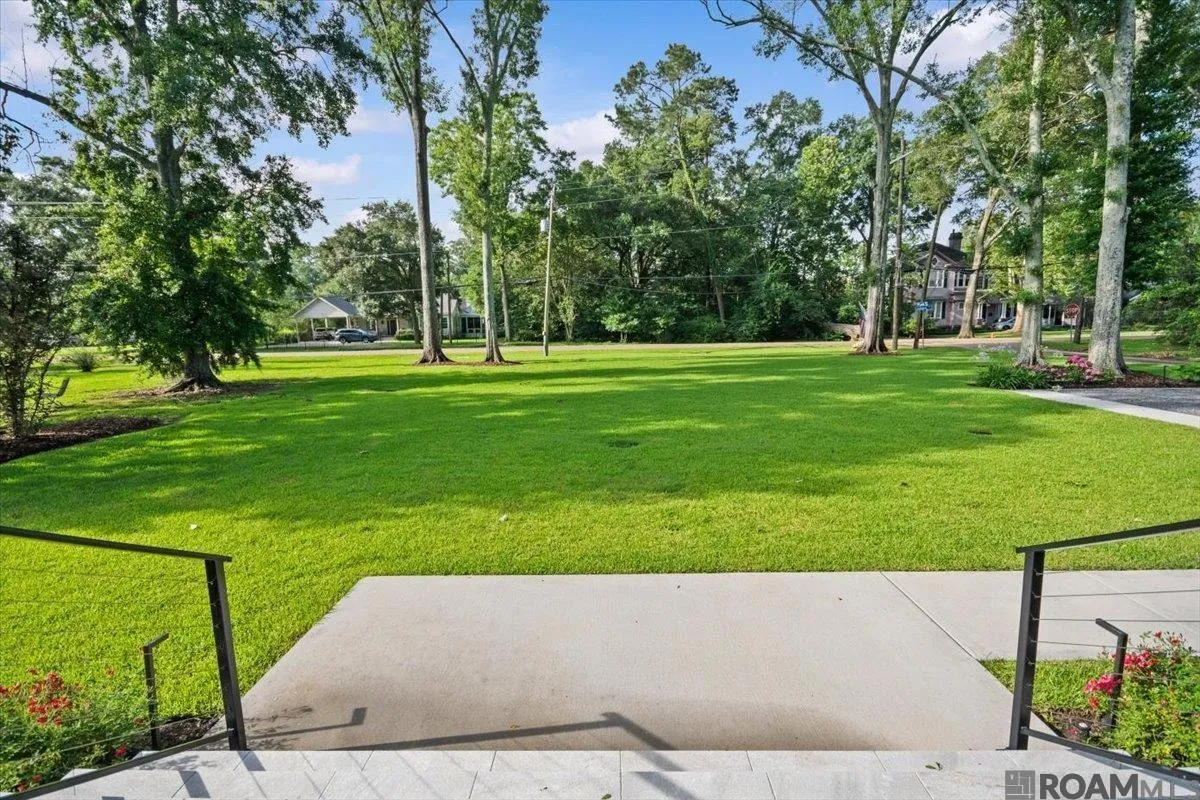
Old Goodwood grew from land around Goodwood Plantation, with residential development taking shape in the 1920s and 1930s. Mature canopy, established streets, and a central Baton Rouge location still define the area.
Open any pin — Goodwood Park, Our Lady of Mercy, Independence Park, and the rest of the map — for photographs, hours, and what actually happens there.
Walk & Bike
Goodwood Park
6025 Sevenoaks Avenue
BREC park with playground, tennis, pickleball, basketball, pavilion, and walking loop. The listing identifies a pedestrian pathway to Esplanade with walking and biking access to the park.
Walk / bike · About 0.8 mi by street · Walk / bike via Esplanade path
Hours. Daily, sunrise to sunset
What happens here
Playground
Outdoor basketball court
Pickleball courts
Unlighted tennis court
Walking / running loop
Pavilion gatherings
BREC neighborhood park at 6025 Sevenoaks Avenue — 5.56 acres in Old Goodwood.
Entrances at Government Street & Sevenoaks and Goodwood Boulevard & Sevenoaks.
A short local ride or walk from 6411 via neighborhood streets toward Sevenoaks.
By bike. The easiest nearby outing on a bicycle. City-Parish GIS also maps an existing Sevenoaks multi-use path near the park; Goodwood Avenue itself is not yet a built sidepath.
Unusually bikeable for Baton Rouge — for the short trips that matter
Old Goodwood is not a sealed greenway system, but it is more useful on a bicycle than a typical auto-oriented subdivision. From this address the daily geography is compact: park, parish, and Government Street are close enough to be ordinary.
The listing’s pedestrian connection toward Esplanade is consistent with a completed City-Parish project: Marquette Avenue Pedestrian Improvements from Government Street to Esplanade (Project 17-SW-HC-0007), awarded in 2019 and finally accepted in 2020. Treat that as a short public pedestrian improvement — not a signed BREC greenway — and confirm gates, surface, and bicycle permission on site.
What is already built nearby: an existing Sevenoaks multi-use path beside Goodwood Park; Goodwood Park’s own walking loop, courts, and playground a few blocks west; Our Lady of Mercy at 400–445 Marquette; and existing Government Street bike lanes from South River Road to East Airport Avenue. Independence Park, about a mile east, has existing BREC multi-use paths and 1.8 miles of garden walking trails.
What is not built yet: City-Parish GIS still maps a Goodwood Avenue sidepath / separated bike lane from Jefferson Highway to Airline as proposed. No existing dedicated facility on nearby Jefferson Highway was verified. Towne Center, LSU, and the riverfront remain street-route or drive destinations. The Mississippi River Levee path downtown is real — roughly 13 miles, with separate bicycle and walking lanes — once you are already on the river.
Goodwood Park
A few blocks west. Playground, tennis, pickleball, basketball, pavilion, walking loop. Sunrise to sunset.
Our Lady of Mercy
Church and school on Marquette — among the shortest parish/school trips in this part of the city.
Government Street
The strongest nearby on-street spine: existing bike lanes, with a separated-lane upgrade still proposed.
Independence Park
About a mile east. Tennis center, gardens, pool, fields, and the Main Library.
6411 Goodwood sits on a dead-end street in Goodwood Place, with a pedestrian pathway connecting directly to Esplanade. That path is the quiet advantage of this address: walking and biking access to Goodwood Park, Our Lady of Mercy, and nearby shops, without giving up privacy.
By car, Towne Center, Mid City’s Government Street, downtown, I-10, and I-12 are close enough to feel central. The lot itself — 100 by 225 feet, fully fenced, irrigated, and landscaped — is the counterweight: a private outdoor room in the middle of the city.